User-friendly and intuitive GPS utility that allows for data and navigation customization with visual graphs and maps, free templates and support for Google Map integration.
CyberTracker is a free and open source GPS database app and mapping tool developed by CyberTracker Conservation for Windows. It's comprehensive, user friendly and reliable.
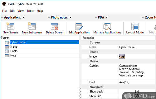
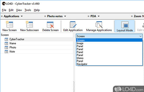
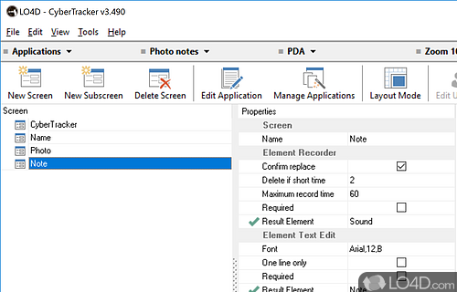
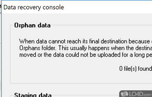
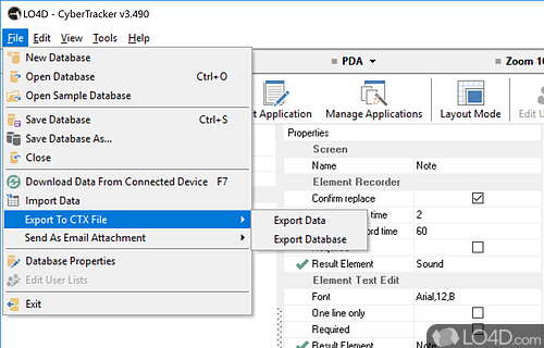
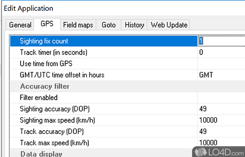
The download has been tested by an editor here on a PC and a list of features has been compiled; see below. We've also created some screenshots of CyberTracker to illustrate the user interface and show the overall usage and features of this GPS database program.
A GPS data tracker including many different templates
CyberTracker is the most efficient method of field data collection. You can use it on a Smartphone or handheld computer to record any type of observation. CyberTracker, which requires no programming skills, allows you to customize an Application for your own data collection needs.
You can design databases and applications for tablets, mobile phones and other GPS devices. The program includes a large number of screen templates that aim to ease the design process.
The automatic GPS Timer Points records the path followed by the observer and makes it possible to measure the Effort of data gathering.
Features of CyberTracker
- Audio Recording: Record audio data and attach to records.
- Backup: Make copies of data for safekeeping.
- Customizable: Modify forms and databases to fit needs.
- Database: Create custom databases and forms.
- Geolocation: Track and store GPS coordinates.
- Integration: Export data to other platforms.
- Multi-platform: Enables data collection on Windows, iOS and Android.
- Multi-user: Collaborate with multiple users simultaneously.
- Offline Mode: Work without an Internet connection.
- Photos: Take and store photos with records.
- Reporting: Generate data summaries and reports.
- Security: Secure data with encryption and passwords.
- Sharing: Share data with others in real time.
- Visualization: View data with customizable charts and maps.
- Web Integration: Publish data to the web.
Compatibility and License
CyberTracker is released under the MIT License for the Windows operating system from mapping. This means you can download, install, run and share the program freely without any restrictions. The source code is also open which means anybody can freely modify this software.
Filed under:
- CyberTracker Download
- Free Mapping
- Open source and GPL software
- GPS Database Software

